Elterwater Hostel
Hostel · Elterwater — Shared dorms, private bunk rooms and a self-catering kitchen in Langdale.
Peaks & fells / Great End
LAKE DISTRICT FELL GUIDE
Great End marks the northern end of the Scafell range, with impressive crags above the approaches to Esk Hause. Reaching its high summit involves a substantial journey into rough mountain country.
Last updated: 25 October 2026
Approx. height
About 910 m / 2,986 ft
Area
Southern Fells · Esk Hause
Walking character
Remote, rough high mountain walking
The fell rises to about 910 metres. Its northern face looks formidable from the valley approaches, while walking routes reach the upper fell from the Esk Hause side.
Great End can be an objective in its own right or part of a longer circuit. It should not be treated as a negligible extra simply because Scafell Pike is nearby: the approach, navigation and return still require time and judgement.
Choose a complete route for your starting point, including the descent. Use a current map and the full route description when planning your walk.
A Borrowdale approach can climb from Seathwaite along Grains Gill towards Esk Hause, then reach Great End’s upper slopes. Use a detailed description to distinguish walking paths from the mountain’s steep gullies and crag faces.
Great End can be included in a researched Wasdale or Scafell-range circuit. These routes involve long approaches and rough high ground. Assess every connection and the return to your actual starting valley before adding neighbouring summits.
Expect stony paths, boulders and an open summit area beside serious crags. The northern gullies are not ordinary walking descents. Cloud, snow and ice make identifying a suitable line particularly important.
These photographs show the fell and its surroundings. Weather, visibility and ground conditions can be very different on the day of your walk.
Seathwaite, Wasdale and Great Langdale are separate approaches to this mountain area. Check the route’s actual start and current parking arrangements. Keep farm access and narrow roads clear, and allow enough time for the long return from the high fells.
Build your day around your party’s experience, the forecast and the daylight available. Carry suitable clothing and navigation equipment, know how to use them, and keep a shorter alternative in mind.
No. It is a distinct summit at the northern end of the range.
Do not assume so. They form steep crag terrain, with additional winter hazards. Follow a researched walking route.
It adds navigation and time on rough high ground. Include it only when the complete route, daylight and conditions allow.
Choose a base for the valley where your walk starts. Open a property to compare its location, photos and facilities, then check availability for your dates.

Hostel · Elterwater — Shared dorms, private bunk rooms and a self-catering kitchen in Langdale.
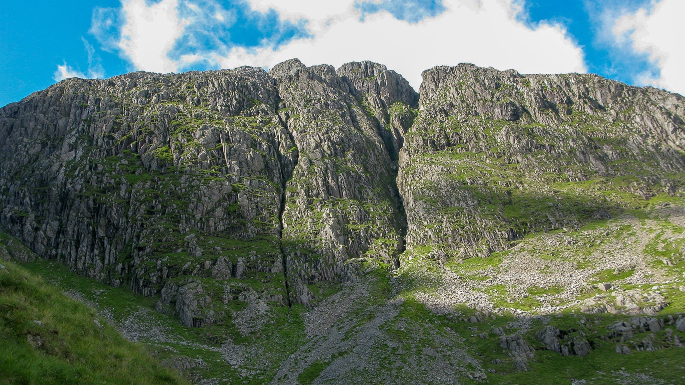
Hostel · Borrowdale — Riverside setting, shared and private rooms, a self-catering kitchen and facilities for walking and cycling breaks.
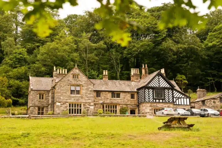
Hostel · Wasdale / Wastwater — Lakeside historic house, shared and private rooms, and a self-catering kitchen.
Some property pages contain affiliate booking links. We may earn a commission from qualifying bookings at no extra cost to you.