


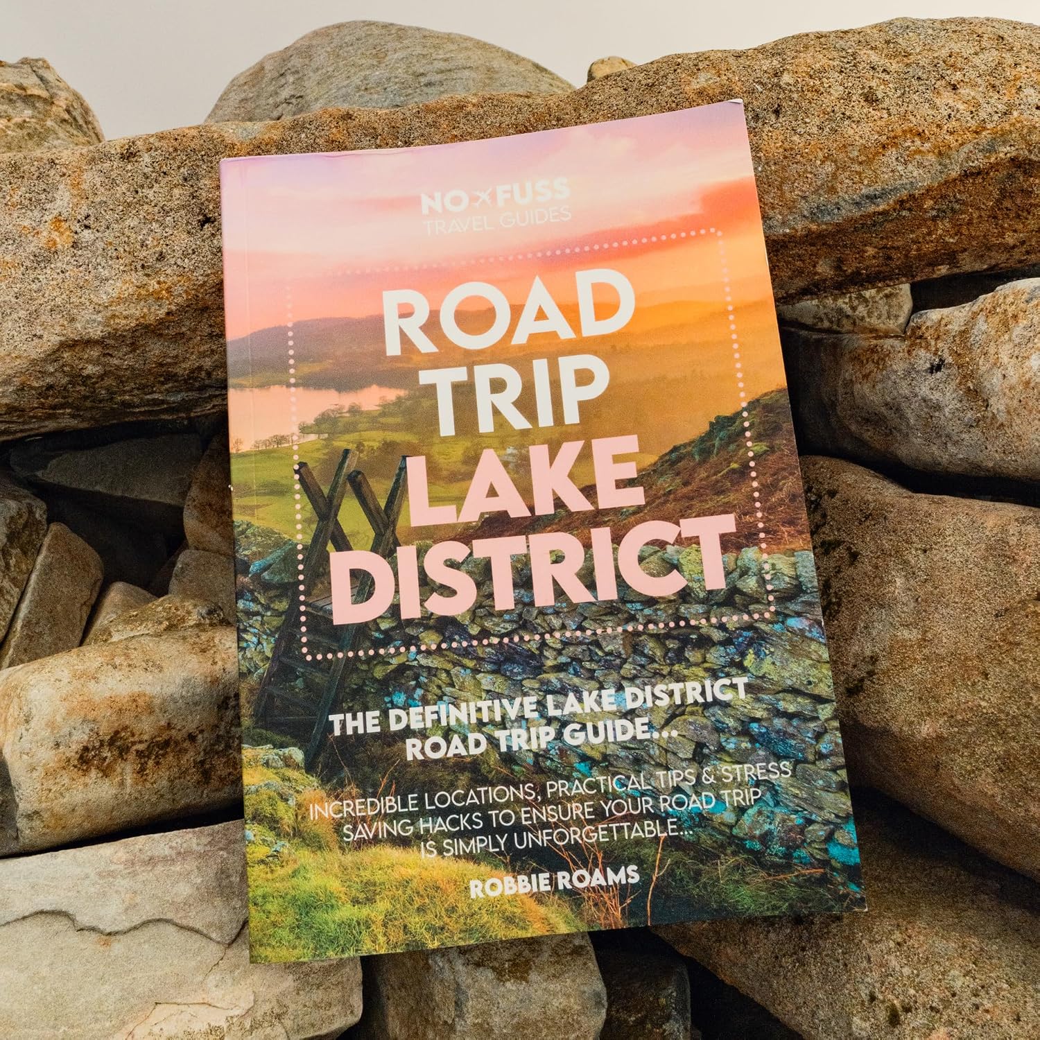

Best GPS Gadgets for Lake District Walking
From simple handheld GPS units to watches and off-grid satellite messengers, these gadgets can make route following more convenient. The important question is which type you actually need — and what it cannot do.

Handheld GPS, GPS watch or satellite messenger?
Need a big route map on the device? Look at a mapping handheld such as the GPSMAP 67i; it also includes optional satellite communications with an active subscription. Need a straightforward position and track record? The eTrex SE may be enough, but it has no detailed onboard maps. Want directions at your wrist? A GPS watch suits walkers comfortable with a smaller route display. Need off-grid messaging and SOS? Consider an inReach satellite communicator and budget for the necessary active subscription.
Important: GPS position finding is not the same as satellite communication. A standard GPS device can calculate your location without mobile signal, but that does not mean it can call for help.
Four GPS gadgets worth comparing
These are different types of device for different purposes, rather than an independent performance ranking. The key technical limitations are included alongside the advantages.
01 / Simple handheld GPS
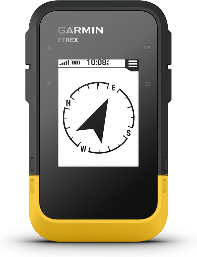


Garmin eTrex SE
A straightforward, button-operated GPS for recording tracks, finding waypoints and following basic navigation cues. Runs on two AA batteries, with a Garmin-rated maximum of 168 hours in GPS-only mode. Its monochrome device screen does not provide detailed onboard topographic maps: use a paper map or compatible phone mapping alongside it.
Best for: walkers wanting an affordable, long-life GPS position and route companion
AA batteries · no detailed onboard maps · no satellite SOS



02 / Full mapping handheld
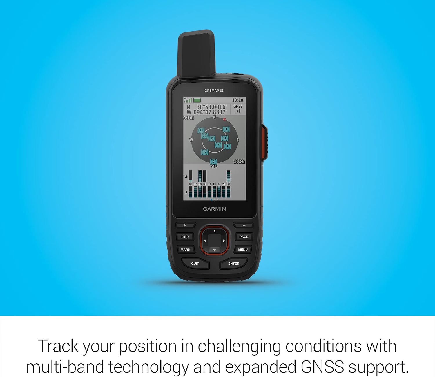
Garmin GPSMAP 67i
A rugged mapping handheld with a colour display, downloadable TopoActive maps, multi-band GNSS and GPX route navigation. This GPSMAP 67i also adds inReach two-way satellite messaging, location sharing and interactive SOS, which require an active inReach subscription. Garmin quotes up to 165 hours with a message or tracking location sent every 10 minutes under its stated conditions. Unlike the standard GPSMAP 67, this model combines detailed mapping and satellite communications.
Best for: longer hikes and walkers who want proper maps on a dedicated device
Colour mapping · multi-band GNSS · inReach satellite SOS with subscription
GPSMAP 67i — specifications
- Display: 3-inch transflective colour TFT, 240 × 400 pixels
- Size and weight: 6.2 × 16.3 × 3.5 cm; 230 g
- Navigation: multi-band GNSS, routable TopoActive maps, GPX routes and waypoints
- Satellite: inReach two-way messaging, interactive SOS and location sharing; active subscription required
- Battery: rechargeable lithium-ion; up to 180 hours in GPS mode or 165 hours with inReach tracking every 10 minutes
- Durability: IPX7 water rating; MIL-STD-810 thermal, shock and water tests
- Connectivity: USB-C; Garmin Explore and Garmin Messenger compatibility
- Mapping: 16 GB internal storage, downloadable TopoActive maps; extra premium maps may cost more
03 / GPS watch for trails



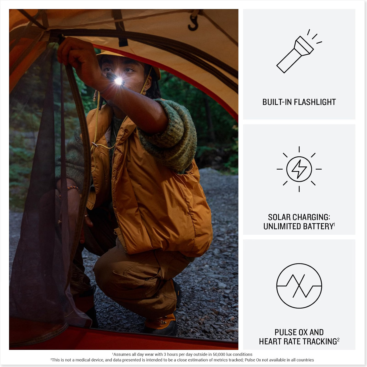

Garmin Instinct 3 Solar
A rugged solar-assisted outdoor watch offering GPS activity tracking and course following without repeatedly reaching for a handheld. Its route-navigation display is not a substitute for the detailed topographic mapping available on dedicated mapping units. Check size and band fit, charging requirements and how you will transfer GPX courses.
Best for: regular walkers who value quick wrist-based route checks
Course following · wrist convenience · not a detailed OS map display
04 / Satellite communication backup

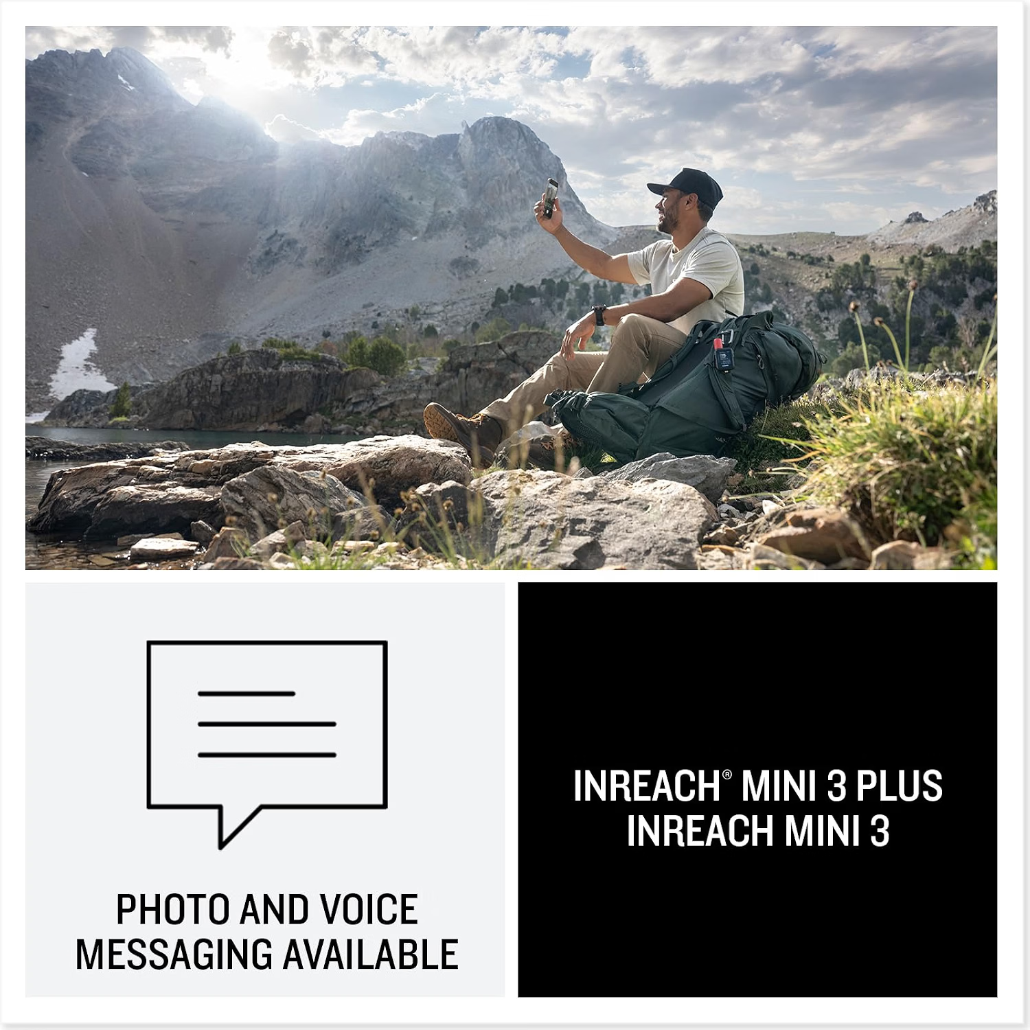


Garmin inReach Mini 3
A small satellite communicator designed for check-ins, messaging and interactive SOS when mobile coverage is unavailable, provided there is suitable sky visibility and an active Garmin inReach service plan. It also supports basic point-to-point navigation, but does not show detailed topographic maps. This is a communication and safety complement to a map, compass and primary navigation device.
Best for: remote or solo trips where off-grid messaging is important
Satellite SOS requires subscription · not a full mapping GPS
Which features matter on the fells?
Maps and GPX routes
A GPX file can contain a track or route, but devices handle imports differently. Check file compatibility, sync method, whether the route is converted to a course, and whether your chosen maps cover the Lake District. A breadcrumb route on a simple screen is useful, but a full topographic map gives more context around paths, contours and junctions.
Battery life and cold weather
Quoted runtimes are manufacturer estimates in particular modes, not a guarantee in the cold or with frequent screen use. Check whether the device uses replaceable AA cells, USB-C charging or a watch charger, and whether a charged power bank is a useful backup.
Position accuracy and terrain
Multi-band GNSS can improve performance in demanding reception conditions but still cannot eliminate errors. Deep valleys, cliffs, woodland and poor sky visibility can affect results. Never follow a GPS arrow blindly across steep or unsafe ground.
Satellite SOS and subscription costs
inReach devices need an active satellite service plan for SOS, messaging and tracking. The standard GPSMAP 67 does not have these services, while the GPSMAP 67i listed above combines detailed mapping with inReach connectivity. Check current subscription terms before buying and test satellite communications before relying on them.
Using a GPS with our Lake District walks
- Open a route from our Explore Map or browse our 50 Highest Fells guide.
- Download the GPX from the individual route page where supplied, then import it using the device manufacturer’s approved app, cable or file-transfer method.
- Check that the route appears in the correct location and that a suitable offline map is available. Review distance, ascent, access, closures and your intended start point before setting off.
- Carry a paper map and compass and know how to use them. Keep a charged mobile phone for emergency contact where coverage permits.
A GPS gadget is not a substitute for mountain skills
On exposed routes, poor visibility can make even a familiar path difficult to follow. Before walking, consult a reliable mountain forecast, choose a route within your ability, tell someone your plans and prepare an alternative. Our map and compass guide covers the skills digital devices should complement.
Frequently asked questions
Does GPS work without phone signal?
Yes. A GPS receiver can determine a position from navigation satellites without mobile data. But maps, weather information and messaging may need advance downloads, mobile service or a separate satellite subscription.
Can I use OS Maps on any Garmin GPS?
No. Map support depends on the exact model and licence. Some devices lack detailed onboard maps altogether; others accept Garmin-compatible mapping. A GPX course is not itself an Ordnance Survey topographic map.
Is a satellite messenger necessary for walking?
Not for every trip. It may be worthwhile for remote or solo adventures, but adds purchase and service-plan costs. A normal GPS watch or handheld does not automatically provide satellite SOS.
Should I buy a GPS or simply use my phone?
For many straightforward routes, a modern phone with downloaded offline mapping, a charged battery and weather protection can be sufficient alongside navigation skills and a paper-map backup. A dedicated GPS can add physical buttons, long battery life and an independent navigation screen.
Specification and safety sources: Garmin eTrex comparison · Garmin GPSMAP 67 and 67i comparison · Garmin Instinct 3 Solar manual · Garmin inReach Mini 3 comparison · Mountain Rescue safety.

“One more fell from a great mood…” Chris writes for numerous online publications, having studied at The University College of North Wales, Bangor. He is regularly in The Lake District and enjoys wild camping, hiking and watersports. His favourite location? Muncaster Castle…

