Search

Peaks & fells / Blencathra

LAKE DISTRICT FELL GUIDE

Blencathra

Blencathra’s ridges rise sharply above the eastern approach to Keswick. There are walking routes as well as exposed scrambles, so choosing the right ridge matters as much as choosing the day.

Last updated: 25 October 2026

Blencathra

Approx. height

About 868 m / 2,848 ft

Area

Northern Fells · near Keswick

Walking character

Mountain walking or scrambling

Why visit Blencathra?

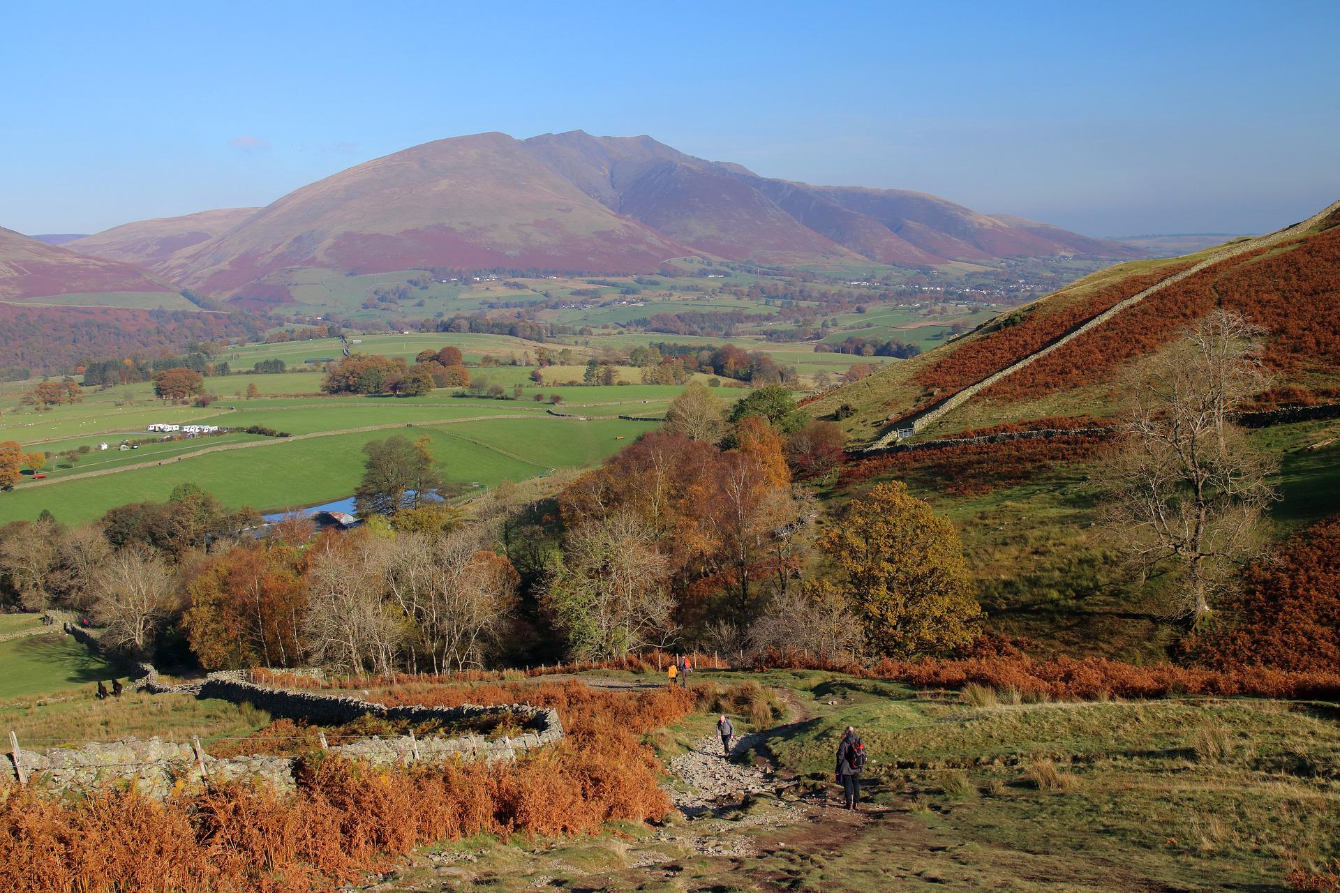
The fell is often called Saddleback, a reference to its distinctive skyline. Its highest point, Hallsfell Top, reaches about 868 metres, with views over the northern Lake District when conditions allow.

Blencathra can provide a satisfying mountain day without taking Sharp Edge. Our Blencathra via Blease Fell walking route describes a strenuous non-scrambling approach from Threlkeld, with the mapped route and preparation advice. Decide whether you want a walking route or a scramble before planning the ascent: familiar names and popular photographs do not indicate an easy route.

Route choices

Choose a complete route for your starting point, including the descent. Use a current map and the full route description when planning your walk.

Scales Fell approach

An approach over Scales Fell offers a walking alternative to the scrambling ridges. It still involves a sustained ascent on open fell ground. Plan a complete return route from Scales and use a detailed description rather than simply aiming for the skyline.

Hall’s Fell Ridge

Hall’s Fell is a scrambling route with rocky sections and exposure. It should not be presented as an easy substitute for Sharp Edge. Consider your experience on steep rock, your party’s confidence and the weather before choosing it.

Sharp Edge

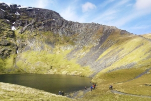
Sharp Edge is an exposed scramble above Scales Tarn. Wet or icy rock and strong winds make it particularly serious. A path that appears to skirt part of the ridge does not turn the whole route into an ordinary walk; choose another ascent if its demands are unsuitable.

Terrain and exposure

Expect steep climbing, rough paths and an exposed summit ridge. Scrambling routes require additional skills and judgement. Conditions at Scales can be very different from those on the upper ridges, and the descent deserves its own plan.

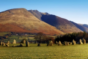
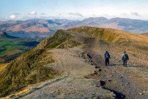
Blencathra in photos

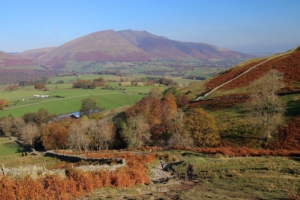
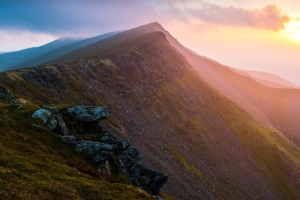
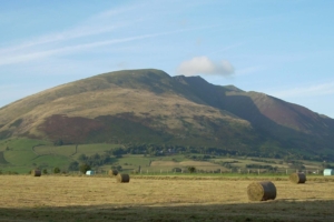
These photographs show the fell and its surroundings. Weather, visibility and ground conditions can be very different on the day of your walk.

Getting there

Scales and the Threlkeld area serve different approaches. Check the exact start, legal parking and current transport options before travelling. Keep village lanes, field gates and farm access clear; avoid an improvised start from the busy A66.

Plan for the conditions

Build your day around your party’s experience, the forecast and the daylight available. Carry suitable clothing and navigation equipment, know how to use them, and keep a shorter alternative in mind.

Useful questions

Do I have to cross Sharp Edge?

No. Walking approaches avoid Sharp Edge. Use a complete route description to select an ascent and descent appropriate to your experience.

Is Hall’s Fell a beginner route?

It involves scrambling and exposure. It needs a different assessment from a straightforward fell path, even though it is often discussed alongside walking routes.

Is Doddick Fell a separate mountain walk?

Doddick Fell is a subsidiary top on one of Blencathra’s southern ridges. It can be included in a researched Blencathra route, but reaching it still involves steep fell terrain.

Places to stay for your walking break

Choose a base for the valley where your walk starts. Open a property to compare its location, photos and facilities, then check availability for your dates.

Some property pages contain affiliate booking links. We may earn a commission from qualifying bookings at no extra cost to you.