



Peaks & Fells / Dollywaggon Pike
LAKE DISTRICT FELL GUIDE
Dollywaggon Pike
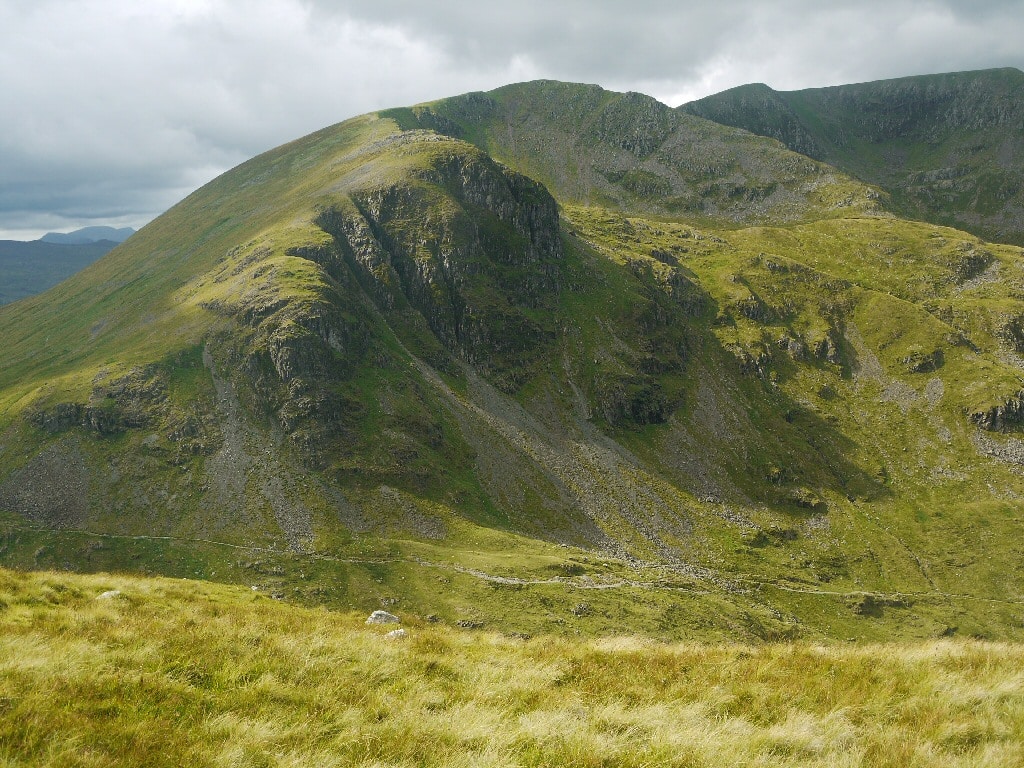
A lofty southern summit on the Helvellyn ridge above Grisedale Tarn. This 859 m Wainwright is in the Eastern Fells, and involves exposed mountain terrain. Find summit details, access options and walking advice below.
Last updated: 9 November 2026
Approx. height
859 m / 2,818 ft
Area
Eastern Fells · Grasmere or Patterdale
Walking character
High mountain walking · exposed slopes
Why visit Dollywaggon Pike?
A lofty southern summit on the Helvellyn ridge above Grisedale Tarn. The summit is at approximately OS grid reference NY 34627 13067 (latitude 54.508678, longitude -3.011154). These coordinates describe the summit rather than a car park or walking route.
The surrounding ridges can offer extensive views in clear conditions, but visibility and safe footing may deteriorate rapidly. Treat this as a serious fell outing rather than a signposted tourist attraction.
Walking routes to Dollywaggon Pike
There are several possible approaches to Dollywaggon Pike. Choose a complete route that matches the weather, daylight and your group’s mountain experience. The suggestions below are route ideas, not verified GPX tracks; confirm your ascent and descent on a current Ordnance Survey map.
Approach from Grasmere
From Grisedale Tarn, reached by a substantial ascent from Grasmere or Patterdale. Check parking, path rights, local closures and the return journey before leaving. Exact distance and ascent depend on the full route chosen.
Ridge and alternative approaches
From Helvellyn via Nethermost Pike. Longer ridge traverses should be planned with escape options and sufficient daylight. Do not rely on an unverified route line or a straight line between summit markers.
Terrain, navigation and mountain safety
Dollywaggon Pike lies on exposed upland terrain with potentially steep, slippery, rocky or pathless sections depending on approach. Conditions can change quickly, especially in poor visibility or strong wind. Carry suitable clothing, map and compass, food, water and a headtorch; snow and ice can require winter skills and specialist equipment.
Check the latest Lake District weather and travel alerts and a mountain-specific forecast. Summit coordinates alone are not a safe navigation plan.
Dollywaggon Pike in photos
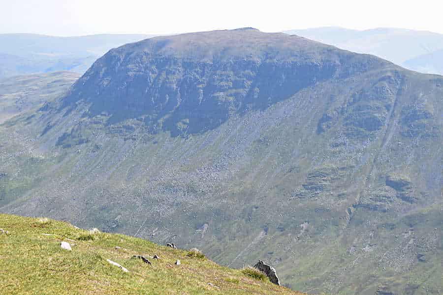
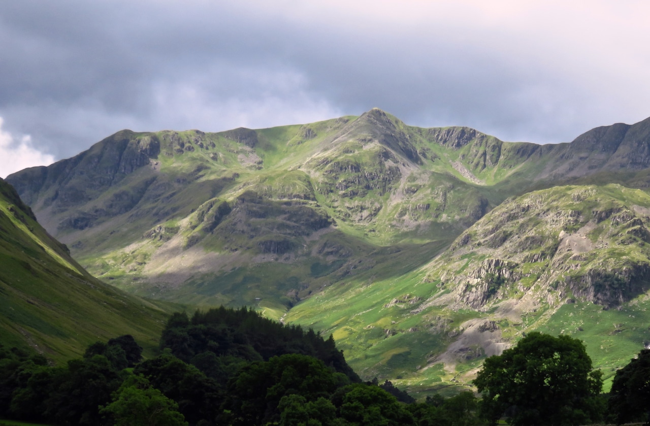
Photograph of Dollywaggon Pike from our Media Library. Its appearance may differ from the route you choose, and weather can change dramatically across the day.
Getting to Dollywaggon Pike
Approach area: Grasmere or Patterdale. Check the access arrangements for your chosen route rather than navigating directly to the summit by road.
Summit grid reference: NY 34627 13067. Summit coordinates: 54.508678, -3.011154. These are for map identification, not parking directions.
Use official car park and public transport information where available. Respect narrow lanes, working farms and access restrictions.
Check conditions before your walk
Allow enough time to ascend, descend and deal with unexpected delays. Know your turning-back points and leave your plan with someone. Weatherline and mountain rescue guidance can help you prepare, but they do not replace sound navigation and judgement on the fell.
Dollywaggon Pike questions
How high is Dollywaggon Pike?
Approximately 859 metres (2,818 feet).
Is Dollywaggon Pike a Wainwright?
Yes, it is one of Alfred Wainwright’s 214 Lakeland fells, in the Eastern Fells.
Where is the summit?
OS grid reference NY 34627 13067 (54.508678, -3.011154).
Where can I start walking?
Grasmere or Patterdale offers possible access areas; choose and check a complete route first.
Is it easy?
Not necessarily. This is high mountain terrain and the difficulty depends on route, weather and experience.
Explore other Lake District fells
Places to stay for a Dollywaggon Pike walk
Consider accommodation around Grasmere or Patterdale for a walking break. Confirm travel time to your actual trailhead and check current transport and parking arrangements.
Browse our Lake District places to stay for hotels, inns and other options near your chosen approach. Property availability and location vary.
Some property pages contain affiliate booking links. We may earn a commission from qualifying bookings at no extra cost to you.