




Explore the River Kent in the Lake District and surrounding Cumbria, from its source and route to riverside wildlife, plants, walking, fishing rights and linked lakes and waterfalls. This guide is part of our Rivers of the Lake District collection.
River at a glance: Source: upland tributaries in the Kentmere fells. Course: Kentmere → Staveley → Burneside and Kendal → the Kent estuary in Morecambe Bay.
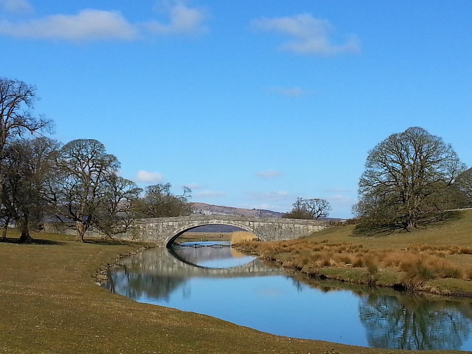
Where does the River Kent start?
The river’s source is upland tributaries in the Kentmere fells. The upper valley gathers water from smaller becks, before the main channel continues through the wider catchment. Headwater streams may be steep and change dramatically with rainfall.
Which fells supply the River Kent?
The Kent’s headwaters gather below the Kentmere fells, including slopes around High Street, Harter Fell and Kentmere Pike. Small gills feed the Kentmere valley; more water enters through tributaries farther downstream towards Staveley and Kendal. Fell names describe the wider upland drainage area, not a single point where the whole river begins.
Catchment reference: River and catchment information. Named fells are representative parts of the drainage area, not a complete hydrological boundary map.
Where does the River Kent flow?
Kentmere → Staveley → Burneside and Kendal → the Kent estuary in Morecambe Bay. This is the river’s principal course, not a road itinerary; some sections lie on private land or beyond the National Park boundary.
Towns and villages along the river
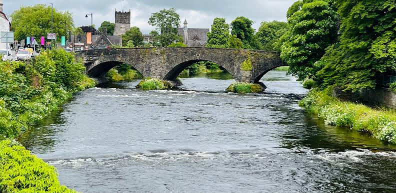
Kentmere, Staveley, Burneside and Kendal. These settlements and nearby valley communities offer starting points for discovering the landscape, although the river does not necessarily pass through every settlement centre.
Lakes and catchment connections
This river is chiefly a flowing-water corridor rather than a route directly through one of the large named lakes. Smaller tarns, becks and tributaries contribute to its catchment.
Wildlife and fish species
Salmon, trout and river invertebrates form part of this specially protected catchment; the LIFE R4ever Kent programme works to improve river habitats. These are wildlife and habitat characteristics of the river or its catchment, not promises of sightings. Observe animals quietly, keep dogs under control near sensitive areas and give nesting birds plenty of space.
Plants, trees and riverside flora
Alder and willow-fringed waters, woodland, grassland and gravel channels create habitats from upland Kentmere down to the lowlands. Vegetation changes with altitude, woodland cover, grazing and flood conditions. Leave wildflowers and aquatic vegetation undisturbed, and avoid trampling fragile banks.
Waterfalls and cascades
Upland tributaries and rocky river sections can form cascades, but we have not identified a verified existing waterfall guide specifically on this river. Browse our Lake District waterfalls directory.
Walking and outdoor activities
Explore signed public paths around Staveley and the river through Kendal, or enjoy the quieter upper Kentmere valley. For more ideas, explore our Routes & Trails collection and Explore Map. Always use public rights of way or authorised access: a riverbank path does not confer rights to enter the water or private land.
Fishing guide: River Kent
Check the angling club or owner managing your exact river section and obtain tickets and rod licences; conservation regulations and close seasons apply.
Before fishing: Anglers aged 13 and over generally need an Environment Agency rod licence, plus explicit permission or a valid ticket from the fishing-rights owner. Coarse fishing on rivers has a statutory close season from 15 March to 15 June; trout, salmon, bait and catch rules vary by location. Read the North West and Border Esk byelaws and official close-season guidance. A mapped access point does not establish a legal angling peg.
For a wider introduction, see Fishing in the Lake District and our directory of local fishing tackle shops.
Conservation and river safety
Check, clean and dry equipment between catchments; do not move live fish or bait. Avoid damaging riverbed gravels, which may support spawning fish and sensitive invertebrates. River levels can rise very quickly after rain. Water entry, paddling and swimming should only take place where it is lawful, suitable and safe, and where any necessary local arrangements have been confirmed.
River Kent FAQs
Where does the River Kent begin?
upland tributaries in the Kentmere fells.
Where does it flow?
Kentmere → Staveley → Burneside and Kendal → the Kent estuary in Morecambe Bay.
Can you fish on the River Kent?
Only where the controlling fishery allows it and you hold the necessary ticket or permission and rod licence. Check seasons and permitted methods for the precise beat.
Information reviewed: 14 November 2026. Catchment background: river trust, catchment or angling information. For wildlife protection and fishing legislation use the official links above; conditions change.