




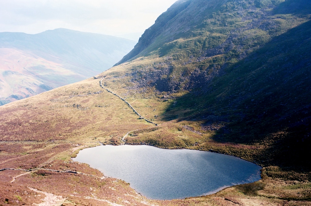
Bleaberry Tarn walk from Buttermere
This challenging out-and-back fell walk climbs from Buttermere village to Bleaberry Tarn beneath Red Pike and High Stile. The route follows established paths through Burtness Wood and up beside Sourmilk Gill, returning the same way. The stone-pitched ascent is very steep and can become extremely slippery in wet weather.
Route at a glance
Start and finish: Buttermere village, near the Bridge Hotel (grid reference NY174169). Distance: approximately 5 km / 3.1 miles return. Total ascent: approximately 406 m. Allow: 2.5–4 hours including rests (planning estimate; walking times vary). Difficulty: strenuous, with sustained steep stone steps. Route type: out and back, not circular.
Walking route
- From the centre of Buttermere, take the public path towards Buttermere lake and the footbridges near Sourmilk Gill. Use an up-to-date map to identify the correct junctions.
- Beyond the footbridge, take the steep stone-pitched path climbing through Burtness Wood. The ascent is demanding from the start.
- Pass through the woodland gate onto open fell. Continue on the established zigzag path towards Sourmilk Gill, taking particular care on wet steps.
- Continue uphill beside Sourmilk Gill towards the high ground below Red Pike. The final ground approaching Bleaberry Tarn can be boggy and less distinct. Navigate carefully and avoid steep waterfall edges.
- Enjoy the tarn and return to Buttermere by the same route. This guide does not include the separate, more demanding Red Pike summit ascent.
Parking, access and safety
Buttermere has National Trust and Lake District National Park parking options; check charges and availability before travelling. This is not an accessible or family-friendly easy stroll. Wear suitable hillwalking boots and carry waterproof layers, food, water, a map, compass and a headtorch. Check mountain weather, daylight and local warnings; do not attempt this route in ice or poor visibility without the necessary mountain skills.
Download the walking GPX: Bleaberry Tarn from Buttermere GPX (5.02 km out and back). This track was checked for continuous track geometry. Follow current rights of way and path conditions, carry an appropriate map and compass, and never rely on a GPX alone.
Nearby places
Explore our Bleaberry Tarn visitor guide, Buttermere and the Routes & Trails collection.