Search

The Lakes / Bleaberry Tarn

Bleaberry Tarn

BLEABERRY TARN · BUTTERMERE FELL WALKS

Bleaberry Tarn

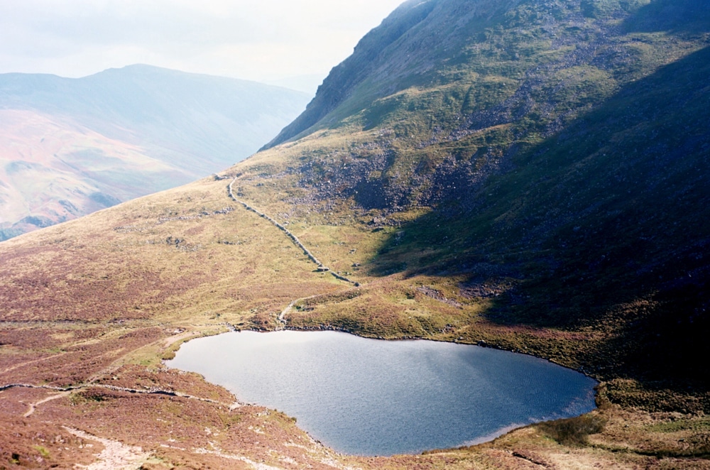
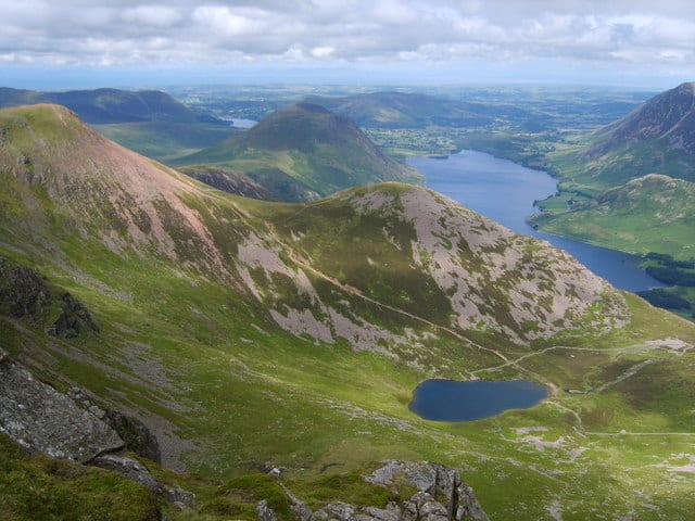
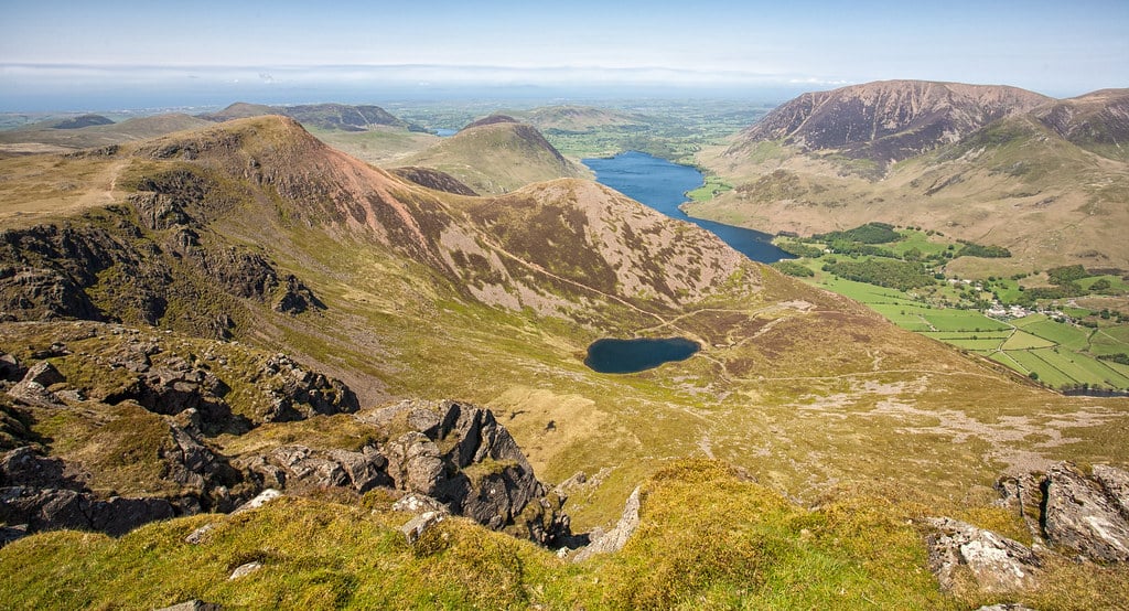
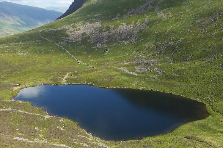
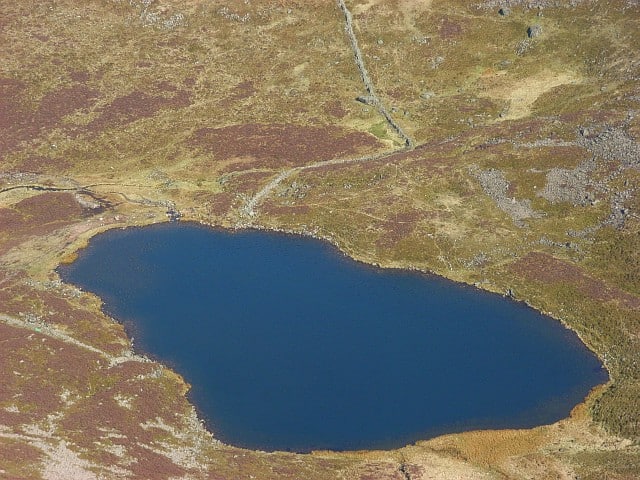
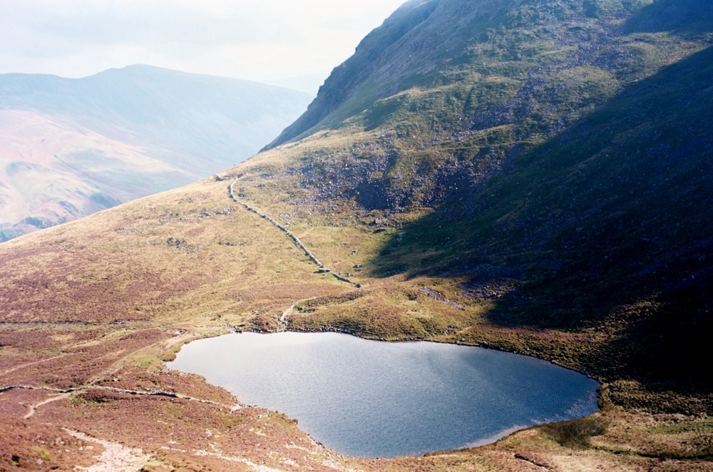
Bleaberry Tarn lies high above Buttermere, in a mountain hollow beneath Red Pike and High Stile. A steep climb brings you to the water and views back across the western fells.

Last updated: 25 October 2026

A mountain tarn above Buttermere

The tarn can be the destination for your day. Plan a return walk that leaves enough time to enjoy the setting and descend comfortably, without committing to a summit.

This is fell country, with a substantial climb from the valley. Choose the walk around your group’s experience, the forecast and daylight, leaving room for rests and changing conditions.

Walking beside Sourmilk Gill

A common approach climbs from Buttermere beside Sourmilk Gill. The National Trust describes the pitched path to Bleaberry Tarn as very steep, with stones that can be extremely slippery when wet.

5 km / 3.1 mile route to the tarn from Buttermere. Use a current map, checking the actual start and return before you set out.

Leave time to look back over the valley from suitable resting places. Keep away from slippery waterfall edges, and turn back if conditions make the ascent or return unsuitable.

Read the National Trust’s Buttermere Valley guidance →

Red Pike, High Stile and longer routes

Continuing onto Red Pike or High Stile adds climbing and a different level of commitment. A ridge circuit needs its own detailed plan, with enough time and energy for the descent.

Check the full distance, ascent, terrain and escape options rather than treating a summit as an extra stop on a short tarn walk. Navigation becomes harder in cloud, and exposed higher ground can feel very different from the valley.

Choose your turnaround before setting off, and be prepared to shorten the outing as conditions change.

Access and preparation

The uphill approach is steep, rocky and uneven. It is not a level, surfaced wheelchair or pushchair route. Wet stone and winter conditions can make both climbing and descending harder.

Wear suitable footwear and carry waterproofs, warm layers, food, drinking water, a torch and navigation equipment you can use. Check the mountain forecast and tell someone your route and expected return.

Keep dogs under close control around livestock, close gates and take all litter home. Stay on established paths and leave the shore and vegetation undisturbed.

Getting to Buttermere

Buttermere village is a practical base for the approach. Check the exact start in your walking guide before choosing where to park, and follow current signs and charges on arrival.

Check National Trust parking information → Leave gateways and passing places clear, and have a different plan if the car parks are full.

Public transport can vary by season. Check services for your date and allow time before the last return journey. Use village facilities before heading into the fells.

Places to stay for a Buttermere walking break

Buttermere Court Hotel offers a village base for exploring the valley. Skiddaw Hotel in Keswick and The Borrowdale Hotel are wider alternatives, requiring a separate journey to the walking start.

Compare property locations, facilities and booking terms before checking availability. A longer stay gives you more flexibility to choose a suitable weather window for the ascent.

Bleaberry Tarn: useful questions

Where is Bleaberry Tarn?

It lies above Buttermere in the western Lake District, beneath Red Pike and High Stile.

Can I walk there from Buttermere?

Yes. The approach climbs from the village area towards Sourmilk Gill and the tarn. Use a detailed route guide and map to identify the correct paths.

Is it an easy walk?

The ascent is demanding and the ground can be slippery. Choose it as a prepared fell walk, allowing for the return descent.

How long does it take?

Time depends on your starting point, route, pace and conditions. Read the full guide and allow extra time for rests, photographs and navigation.

Are there facilities at the tarn?

There is no dedicated visitor centre at the water. Use facilities in the Buttermere area and check current opening arrangements before relying on them.

Can I swim?

Mountain water can be cold even in summer, with submerged hazards and difficult exits. Check current permission and restrictions with the landowner before planning any water activity, and leave enough energy and dry warm clothing for the return walk.

What else can I visit?

Buttermere, Scale Force and the surrounding fells offer other outings. Give each its own route and conditions check.

Can I wild camp?

The National Park says prior landowner permission is needed. Its guidance describes limited tolerance for small, discreet, one-night high-fell camps away from lake shores. This is not guaranteed permission beside Bleaberry Tarn. Do not light fires or camp in car parks or roadside verges.

Read the current National Park guidance →

More places to explore

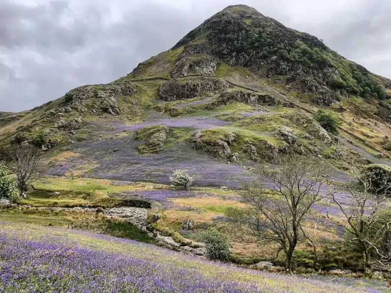
Explore Buttermere and Scale Force on separate days, or use our Rannerdale Knotts guide to plan another fell outing. Check the terrain and current access information for the route you choose.