Search

Peaks & fells / Rannerdale Knotts

LAKE DISTRICT FELL GUIDE

Rannerdale Knotts

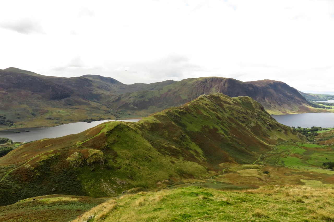
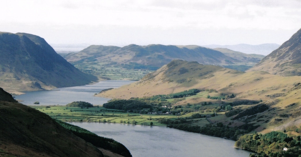
Rannerdale Knotts offers a compact ridge above Buttermere and Crummock Water, with views that feel much bigger than its height. Its summit walk is distinct from the lower paths through the bluebell valley.

Last updated: 25 October 2026

Rannerdale Knotts

Approx. height

About 355 m / 1,165 ft

Area

Western Fells · Buttermere & Crummock Water

Walking character

Compact fell with steep rocky sections

Why visit Rannerdale Knotts?

The fell reaches about 355 metres and sits between two of the western lakes. It can make a rewarding shorter objective when the route and conditions suit, with an attractive combination of water, pasture and surrounding mountains.

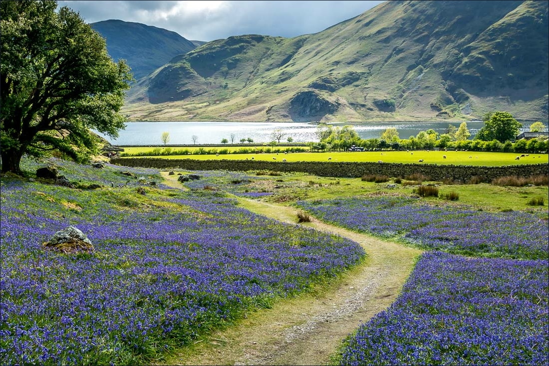
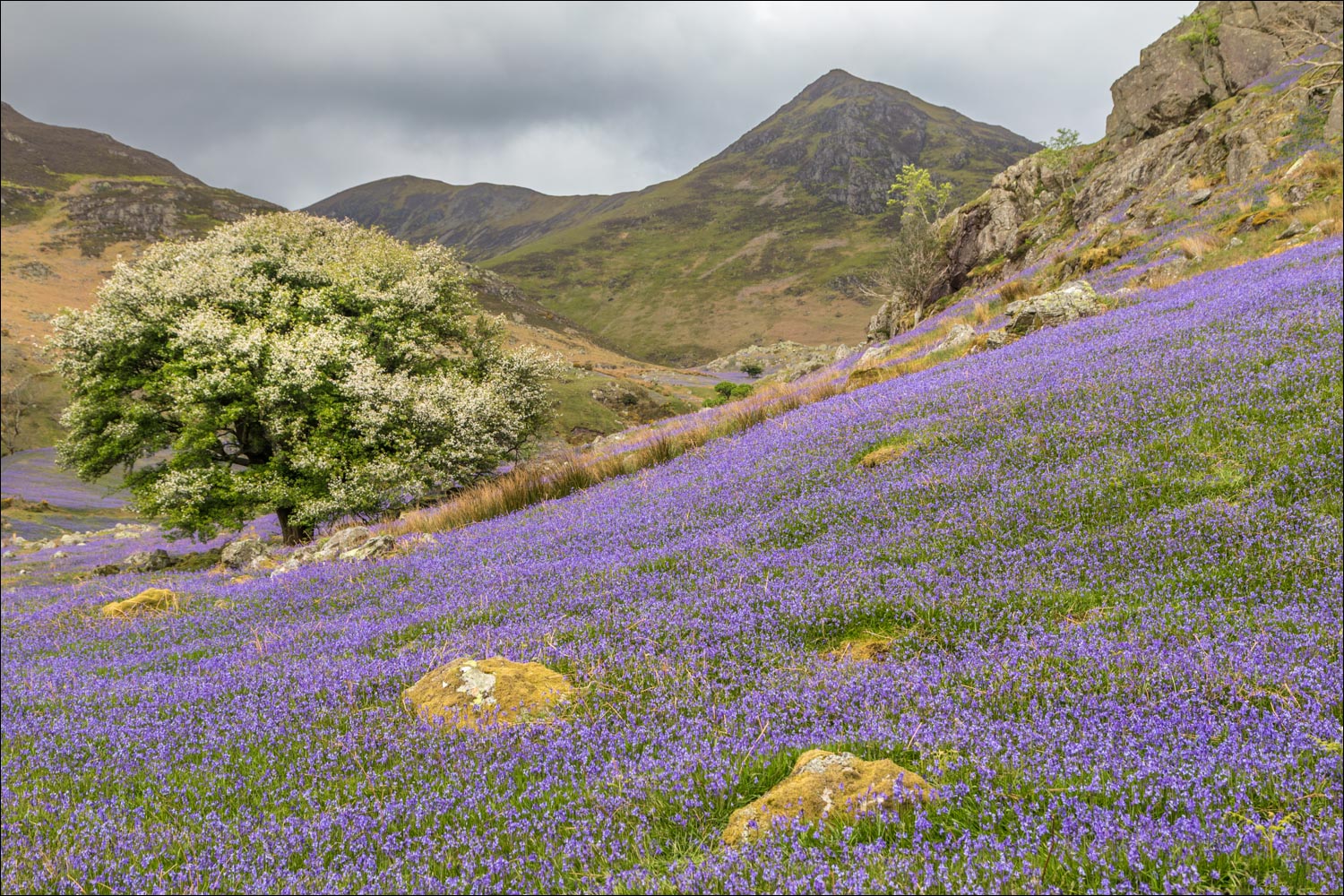
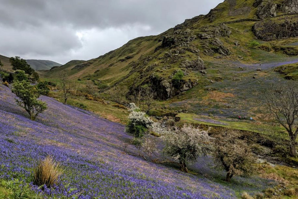
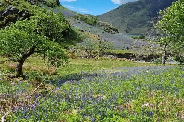
Rannerdale’s bluebells bring seasonal interest, but the summit is not simply an extension of a level flower-viewing stroll. Plan for steep ground and protect the valley by keeping to established paths.

Route choices

Choose a complete route for your starting point, including the descent. Use a current map and the full route description when planning your walk.

A circuit from Buttermere

A planned circular walk from Buttermere can include the fell ridge and return by lower paths. Read the full route to choose the direction and identify the steeper rocky sections; a short distance does not mean a uniformly gentle path.

Valley and lakeside alternatives

Lower Rannerdale and lakeside routes offer a different outing when a summit is not appropriate. Select a published route for the ground you want to cover, with particular care at road crossings and where paths pass steep shores.

Terrain and exposure

Expect steep, uneven rock on parts of the summit approach, with slippery ground in rain and exposed sections on the ridge. During the bluebell season, remain on paths and avoid creating shortcuts through the flowers.

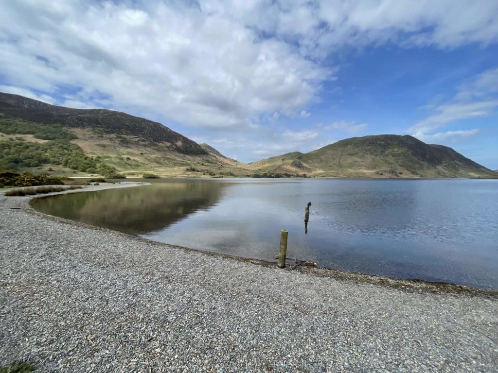
Rannerdale Knotts in photos

These photographs show the fell and its surroundings. Weather, visibility and ground conditions can be very different on the day of your walk.

Getting there

Buttermere and the Crummock Water side have limited parking and busy narrow roads. Check the correct start and current parking arrangements. Do not use verges, passing places or field entrances as overflow parking; consider available bus services.

Plan for the conditions

Build your day around your party’s experience, the forecast and the daylight available. Carry suitable clothing and navigation equipment, know how to use them, and keep a shorter alternative in mind.

Useful questions

Is the bluebell walk the summit walk?

No. Lower valley paths and the route over Rannerdale Knotts have different terrain and climbing requirements.

Can I walk through the bluebells?

Keep to established paths and avoid trampling flowers or widening tracks. The display varies with the season and weather.

Is the fell suitable in wet weather?

Rocky sections can become slippery. Assess the forecast, wind and your confidence on steep ground, and choose a lower alternative when appropriate.

Places to stay for your walking break

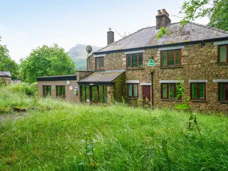
Choose a base for the valley where your walk starts. Open a property to compare its location, photos and facilities, then check availability for your dates.

Some property pages contain affiliate booking links. We may earn a commission from qualifying bookings at no extra cost to you.