Search

Peaks & Fells / Great Dodd

LAKE DISTRICT FELL GUIDE

Great Dodd

Great Dodd is a broad, grassy 857-metre (2,812 ft) Wainwright on the northern Helvellyn ridge. Its open summit, expansive views and walking approaches from Dockray or Thirlmere make it a rewarding but serious mountain day.

See how Great Dodd compares with the other high summits in our 50 highest fells in the Lake District guide, with a complete ranking in metres and feet.

Last updated: 9 November 2026

Great Dodd

Approx. height

857 m / 2,812 ft

Area

Eastern Fells · northern Helvellyn ridge

Walking character

Broad, grassy summit · exposed mountain walking

Why climb Great Dodd?

Great Dodd is the highest of the three Dodds immediately north of Sticks Pass, with Watson’s Dodd and Stybarrow Dodd extending southwards. A rounded summit and long grassy shoulders contrast with the more rugged ground of neighbouring Helvellyn. In clear weather, views extend towards Skiddaw, Blencathra, Ullswater, the Eden Valley and the northern Helvellyn ridge.

Its true summit is at approximately OS grid reference NY342205. Wainwright’s cairn lies a short distance north-west of the highest ground. Both are on open, exposed terrain, where good visibility cannot be relied upon.

Walking routes to Great Dodd

Routes to Great Dodd involve sustained ascent and exposed fell terrain. There is no maintained easy tourist trail to the summit. The examples below are established options rather than a GPX route created by Lake District Offers; use a current OS or equivalent map and independently verify the complete route before setting off.

From High Row near Dockray

A recognised approach starts at High Row (approximately NY379219), above Dockray. Walkers use the Old Coach Road, then leave it to ascend over Matterdale Common and Randerside towards the broad dome of Great Dodd. Wainwright Routes describes an ascent of about 3 miles (4.8 km) one way, 1,520 ft (463 m) climbing and roughly 1 hour 55 minutes of ascent for fit, experienced walkers. Allow substantially more time for a safe return and adverse conditions; these figures do not describe a complete there-and-back walk.

The Dodds ridge and Clough Head

Great Dodd can form part of a longer ridge circuit with Watson’s Dodd, Stybarrow Dodd and Sticks Pass, or a traverse north to Clough Head via Calfhow Pike. For example, Walking Britain’s Clough Head via Great Dodd walk starts near High Row and covers approximately 13.2 km (8.1 miles) with about 606 m ascent. A different Three Dodds circuit from Dockray is around 16.7 km. These are lengthy mountain outings requiring navigation and sensible weather choices.

Terrain, navigation and mountain safety

Although the upper slopes are predominantly grassy, paths may be faint, uneven and boggy. The broad summit can be especially confusing in mist; strong winds, snow or ice can make even straightforward ground hazardous. Carry a suitable map and compass, know how to use them, and check the mountain forecast before leaving. Consider shorter alternatives if visibility, wind or daylight deteriorate.

Great Dodd and the surrounding fells

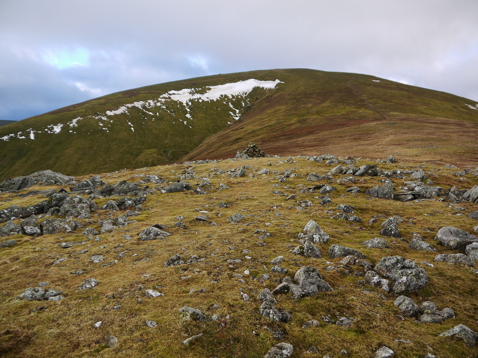
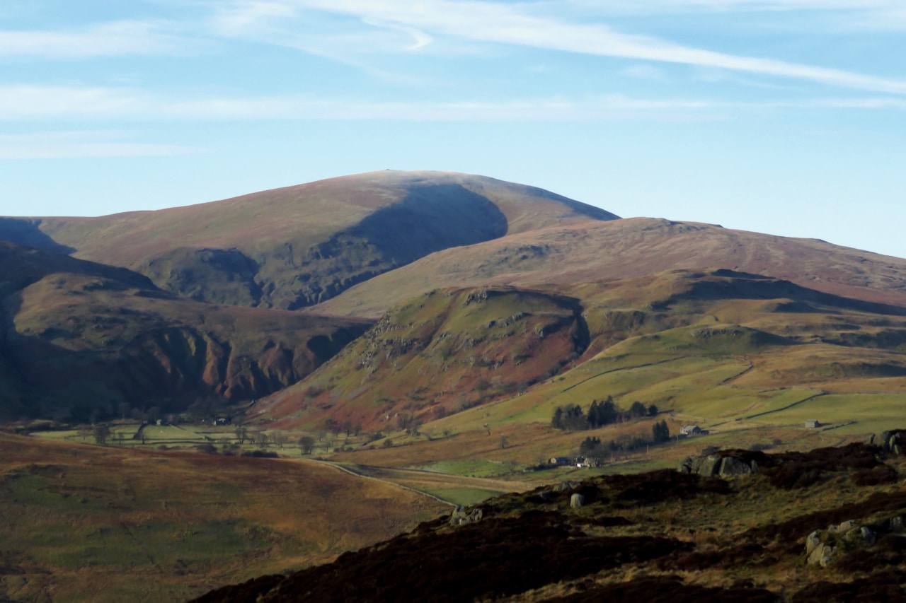
Great Dodd seen from Randerside across Lurgegill Head, and from Gowbarrow Fell. These photographs show the mountain from two different viewpoints. Ground conditions and visibility can change significantly.

Getting to Great Dodd

High Row: the small roadside parking area by the western end of the Old Coach Road, above Dockray (OS grid approximately NY379219). Spaces are limited; arrive early, park legally and leave the narrow road and gates clear. The listed postcode CA11 0LG is approximate and should not be used as your sole navigation reference.

Alternative: longer approaches begin near Legburthwaite on the Thirlmere side. Ensure that your chosen route and descent are suitable for your party and that you can return to your starting point.

Check conditions before your walk

Mountain weather · Great DoddForecast at approx. 857 m
Loading summit forecast…
Model forecast, not a live summit observation. Always check the Met Office mountain forecast before setting out.

Great Dodd is a high fell, not a low-level lakeside stroll. Check mountain conditions, carry waterproofs and warm layers even in summer, and allow spare daylight. Tell someone your intended route and return time, particularly if you are walking alone.

Great Dodd questions

How high is Great Dodd?

857 metres (2,812 feet).

Is Great Dodd a Wainwright?

Yes, it is one of Alfred Wainwright’s 214 Lakeland fells, in the Eastern Fells.

Where can I start?

High Row, above Dockray, is a popular approach via the Old Coach Road and Matterdale Common. Other routes start on the Thirlmere side.

Is Great Dodd an easy walk?

It has a broad grassy summit, but reaching it is a substantial mountain walk. Mist and strong winds make navigation more demanding.

Where is the summit?

Near OS grid NY342205. The true summit is slightly separate from Wainwright’s cairn.

Explore nearby Eastern Fells

Stay near Dockray, Ullswater and Keswick

Dockray, Glenridding, Keswick and the Ullswater valley offer possible bases for a Great Dodd walking break. Check the travel time to your specific starting point rather than assuming all accommodation is close to the route.

Some property pages contain affiliate booking links. We may earn a commission from qualifying bookings at no extra cost to you.