
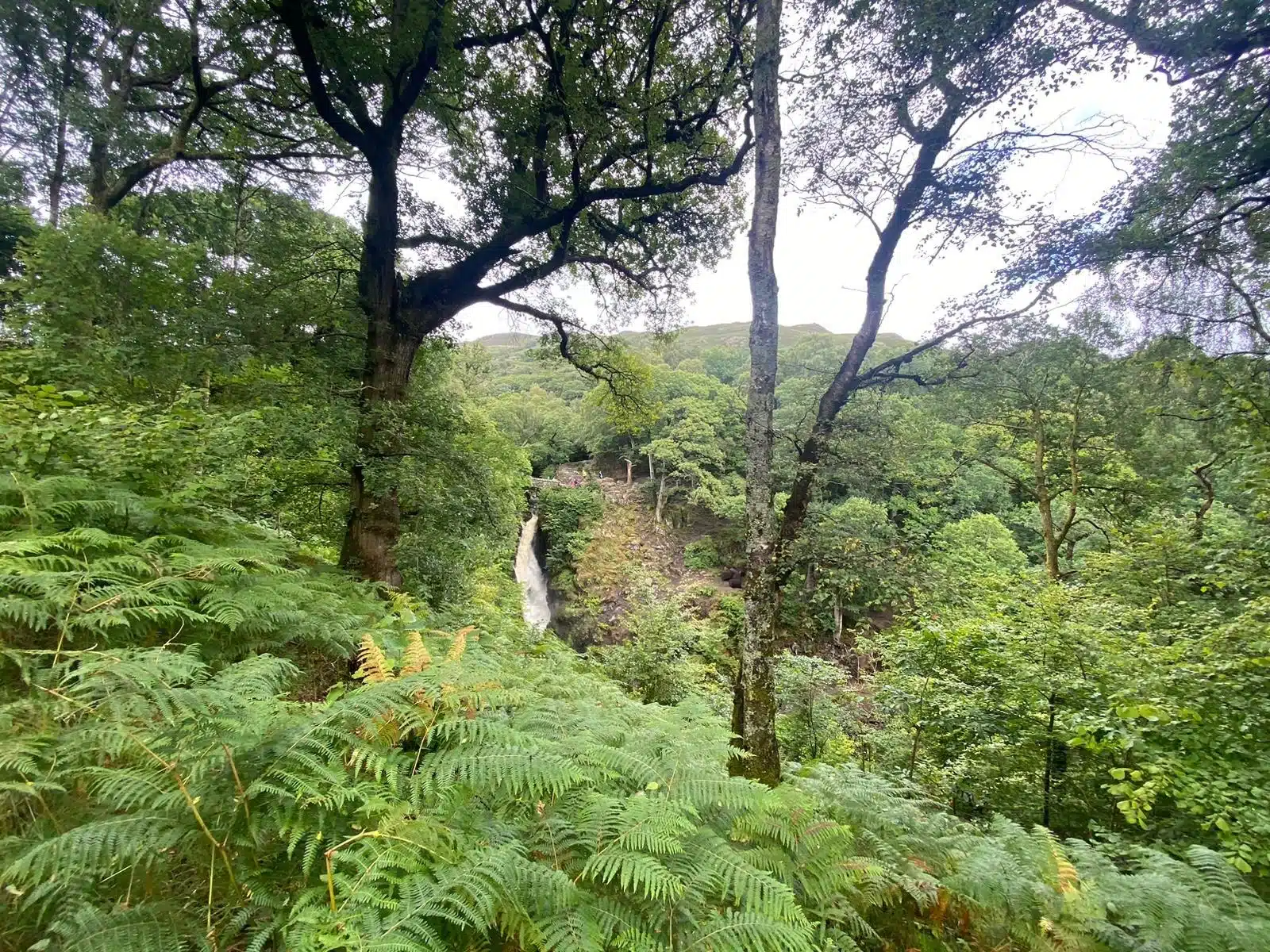
ULLSWATER WAY · STAGE GUIDE
The shortest of the four official stages follows the western shore of Ullswater through Glencoyne’s woodland and bays towards Glenridding. This is one of the four waymarked sections of the Ullswater Way, a roughly 20-mile circuit of the lake. It is a linear walk, so plan transport for the return before setting out.
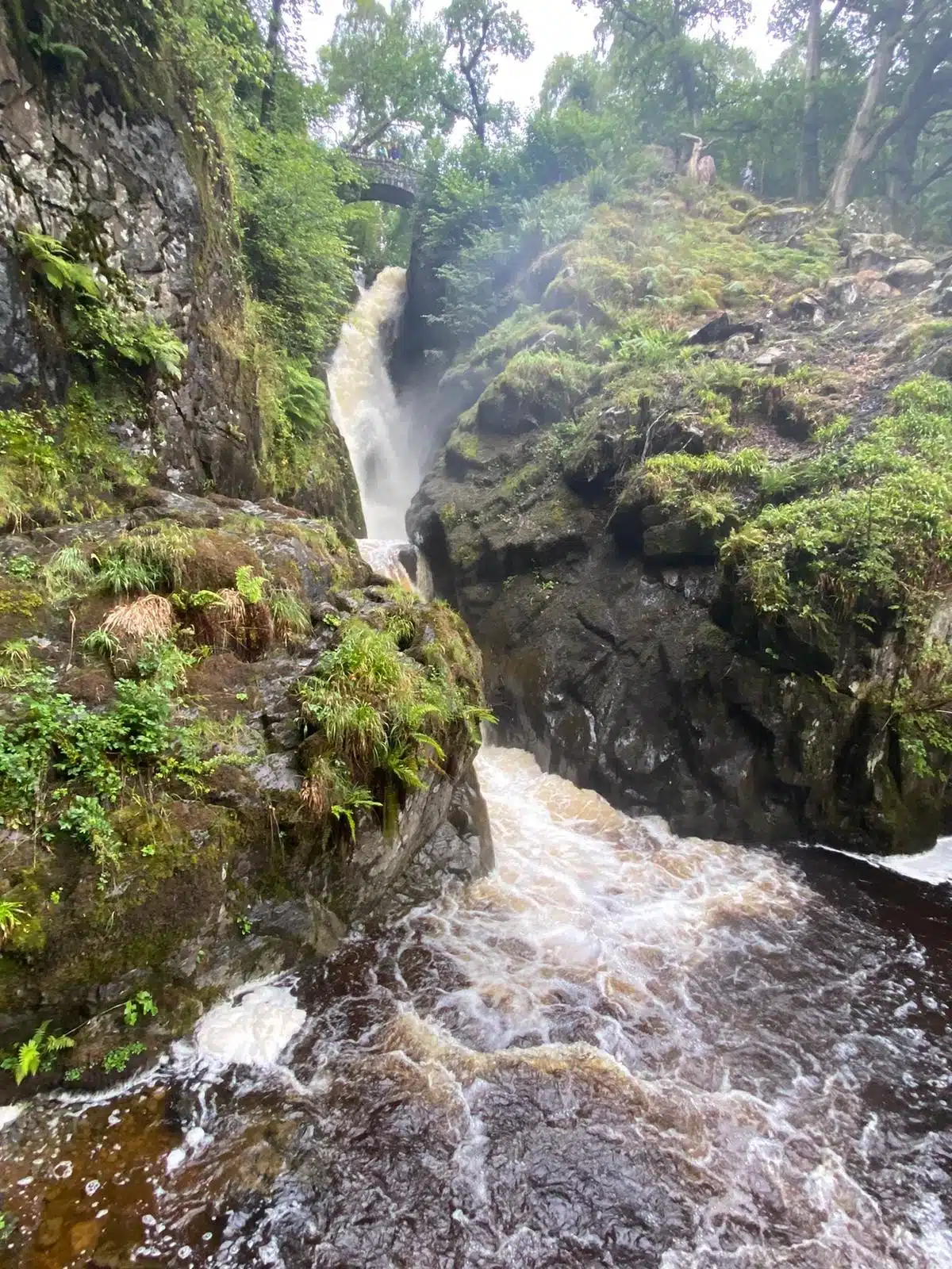
Why walk Aira Force to Glenridding?
This is a rewarding shorter section with waterfall scenery, views along Ullswater and the woodland associated with William and Dorothy Wordsworth’s daffodils. It is shorter than the other stages but is not entirely level or accessible.
Following the Ullswater Way
The description below explains the main areas you encounter, not a turn-by-turn navigation file. Follow the official Ullswater Way signs, use an up-to-date Ordnance Survey map and check for temporary path changes.
Aira Force and waterfall paths
Start at the Aira Force visitor area. The waterfall itself is reached by optional woodland paths and steps; allow additional time if visiting it before beginning the shoreline section.
Glencoyne Deer Park
Follow the waymarked trail through the landscape of ancient Glencoyne Deer Park. This part is generally on a well-surfaced route and passes woodland near the shore where the Wordsworths recorded seeing daffodils in 1802.
Glencoyne Bay and the A592
In the Glencoyne area follow the official marked crossing and route arrangement. There is a short section beside the A592 where special care with traffic is needed; do not cross elsewhere simply to shorten the walk.
Lakeshore to Glenridding
Beyond Glencoyne the lakeshore walking becomes narrower and rougher. Continue along the signed shoreline paths and bays before finishing in Glenridding, where cafés, bus stops and a steamer pier are available.
Accessibility: The surfaced section between Aira Force and Glencoyne may suit some visitors with limited mobility, but the full way to Glenridding has narrow, uneven lakeshore sections and should not be described as step-free.
Getting there and getting back
Glenridding has a steamer pier and regular bus connections depending on the season. The Aira Force pier remains closed for steamer services as of November 2026, so use current bus information for a one-way walk or plan a return on foot. Check the operator’s pier update before visiting.
Parking: National Trust Aira Force parking and parking options in Glenridding; check local restrictions, charges and the return transport option.
Useful links and nearby places
Explore Aira Force, Glenridding and Ullswater.
Ullswater Association: official stage overview · National Park: Ullswater Way information · Ullswater Steamers: live timetable and pier updates
Walk all four Ullswater Way sections
Choose a different leg or link the four together, allowing for path options and changing services.
Pooley Bridge to Aira ForceAira Force to GlenriddingGlenridding to HowtownHowtown to Pooley BridgeExplore more walking routesPlaces to stay around Ullswater
Frequently asked questions
How long is the Aira Force to Glenridding walk?
Our downloadable GPX track measures approximately 4.22 km, while the Ullswater Association gives around 4.6 km (3 miles) for the promoted stage. The difference reflects the exact mapped line, route choices and endpoints; do not treat these as identical routes. Allow around 1.5–2.5 hours, plus photographs, refreshment stops and any waterfall visit.
Is there a free GPX track?
Yes. Download the 4.22 km Lake District Offers GPX. This track follows OpenStreetMap’s Ullswater Way path network. Check the route against an up-to-date OS map, official waymarks and any closures before walking; a GPX is a navigation aid, not a guarantee of safe access.
Is this a circular walk?
No. This is a point-to-point section of the circular Ullswater Way. Arrange a return bus, boat or another suitable connection before starting.
Updated 10 November 2026. Independent route overview based on the Ullswater Association and National Park information. The indicative walking time is a planning estimate, not a guaranteed completion time.