Search

The Lakes / Angle Tarn (Patterdale)

Angle Tarn (Patterdale)

ANGLE TARN · PATTERDALE & THE FAR EASTERN FELLS

Angle Tarn (Patterdale)

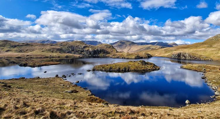
A beautiful, island-dotted mountain tarn above Patterdale, reached on foot by climbing towards Boredale Hause and Angletarn Pikes. Enjoy wide views across the Ullswater fells and a memorable high-level landscape.

Last updated: 9 November 2026

One of the eastern Lake District's loveliest mountain tarns

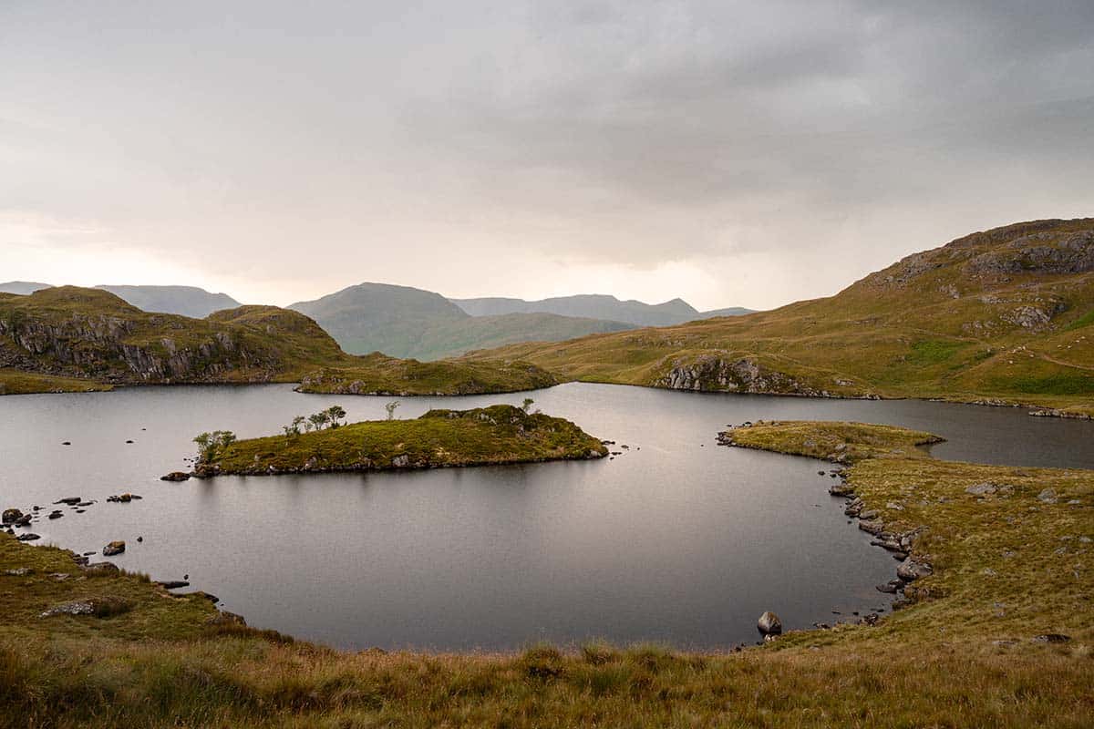
Angle Tarn sits high above the Patterdale valley, close to Angletarn Pikes on the western edge of the Far Eastern Fells. Its irregular shoreline and grassy islets make it especially striking when viewed from the surrounding slopes.

This is Angle Tarn near Patterdale, not the separate tarn near Esk Hause in the central fells. It is a hillwalking destination with no road access, visitor centre or facilities at the water.

Walking to Angle Tarn via Boredale Hause

A commonly used approach begins in Patterdale, crosses the valley and climbs steadily towards Boredale Hause. From the hause, continue along the higher fell paths towards Angletarn Pikes and the tarn. The climb is steep in places, with rocky and potentially wet sections.

Published Patterdale walks typically cover approximately 7.5–8 km for a shorter return trip, while longer circuits vary substantially in distance and ascent. Allow around 3–5 hours for a shorter outing depending on your route, conditions and pace. Use a current 1:25,000 Ordnance Survey map, such as Explorer OL5, for precise navigation.

Mountain safety: Paths can become difficult in low cloud, strong wind, ice or snow. Wear appropriate boots, carry waterproof layers, food, water, map and compass, and plan for a safe return before dark. There is no vehicle access to Angle Tarn.

Angletarn Pikes and longer fell walks

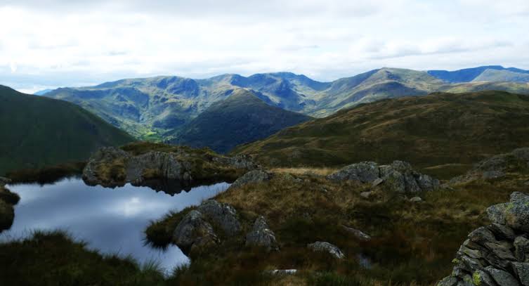
The nearby twin rocky tops of Angletarn Pikes are a popular addition, offering views towards Ullswater, the Helvellyn range and Martindale. More experienced walkers can continue towards Brock Crags, Rest Dodd, The Knott or Hayeswater, but these extensions should be planned as substantial mountain walks rather than a simple lakeside stroll.

For a longer published option, see Walking Britain’s Angle Tarn and Hayeswater circuit (13.5 km); its distance should not be confused with the shorter tarn return walk.

Wildlife, photography and responsible visiting

Angle Tarn is known for its little islands, reflecting water and rugged grass-covered shoreline. Keep to established paths where possible, take litter home, avoid disturbing wildlife and livestock, and follow the countryside code. The water is cold, remote and unsupervised, so do not treat swimming as risk-free.

Getting to Patterdale, parking and facilities

Patterdale is on the A592 near the southern end of Ullswater. Check current public or paid parking arrangements before travelling, as spaces are limited during busy periods. Keep gateways and roadside passing places clear, and do not assume pub or hotel parking is available to non-customers.

Obtain supplies and use visitor facilities in the valley before starting. There are no shops, toilets or shelters at the tarn. Plan the trip around mountain weather, daylight and route conditions.

The two Angle Tarns: don't mix up the locations

Two different Lake District tarns are commonly called Angle Tarn. This guide covers the tarn by Angletarn Pikes above Patterdale (OS grid reference approximately NY415145). Another Angle Tarn lies near Esk Hause beneath Bowfell, above Great Langdale. Their walking approaches and nearest villages are completely different, so check the map before setting out.

Places to stay for an Angle Tarn walk

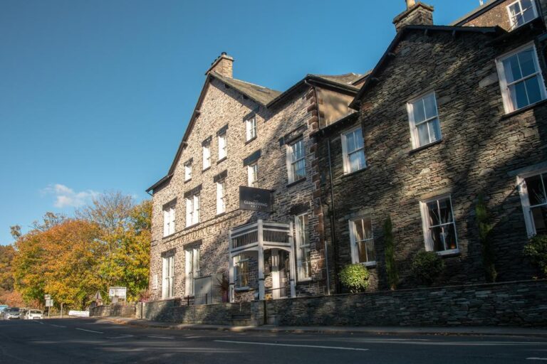
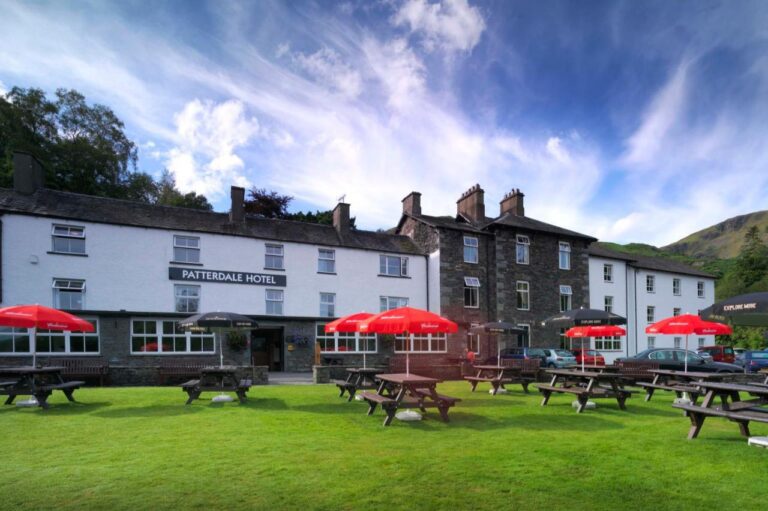
Stay in Patterdale, Glenridding or near Ullswater for an early start on the fells. The Patterdale Hotel, Brotherswater Inn and other nearby options make useful bases, but check each property’s location and your planned start point.

Brotherswater Inn Outside
Patterdale

Brotherswater Inn

Inn / pub with rooms · Hartsop / Patterdale — Pub dining beside Brothers Water, with eastern fell walks nearby.

Read more

Angle Tarn (Patterdale): frequently asked questions

Where is Angle Tarn?
High above Patterdale, near Angletarn Pikes in the Far Eastern Fells.

Can you drive to Angle Tarn?
No, it is reached on foot over fell paths.

How long is the walk?
Shorter Patterdale returns are often around 7.5–8 km, with timing depending on ascent, conditions and chosen route. Allow roughly 3–5 hours.

Is it suitable for beginners?
It is a proper hill walk with substantial ascent, exposed ground and navigation challenges in poor visibility.

Is this the tarn near Esk Hause?
No, the Angle Tarn near Esk Hause is a different location.

Angle Tarn Patterdale: photo gallery

More places to explore around Ullswater

Explore Patterdale and Ullswater, discover the scenic valley of Brothers Water, or browse other mountain lakes and tarns. Find the surrounding routes and locations using our interactive Lake District map.