
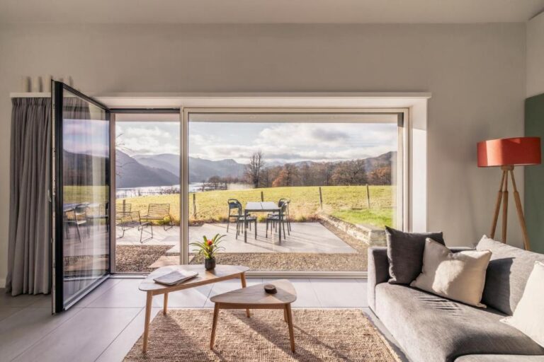
Tethera: Passivhaus
Self-catering · Watermillock — Detached two-bedroom home with energy-efficient Passivhaus design in the Ullswater area.
Peaks & fells / Loadpot Hill
LAKE DISTRICT FELL GUIDE
Loadpot Hill lies on the broad upland east of Ullswater, with grassy ridges and a more open character than the craggy central mountains. The distances and navigation still make it a proper fell outing.
Last updated: 25 October 2026
Approx. height
About 672 m / 2,205 ft
Area
Far Eastern Fells · east of Ullswater
Walking character
Long, open upland walking
The summit reaches about 672 metres in the Far Eastern Fells. It can appeal to walkers who enjoy wide skies, quieter ridges and views towards Ullswater and the surrounding valleys.
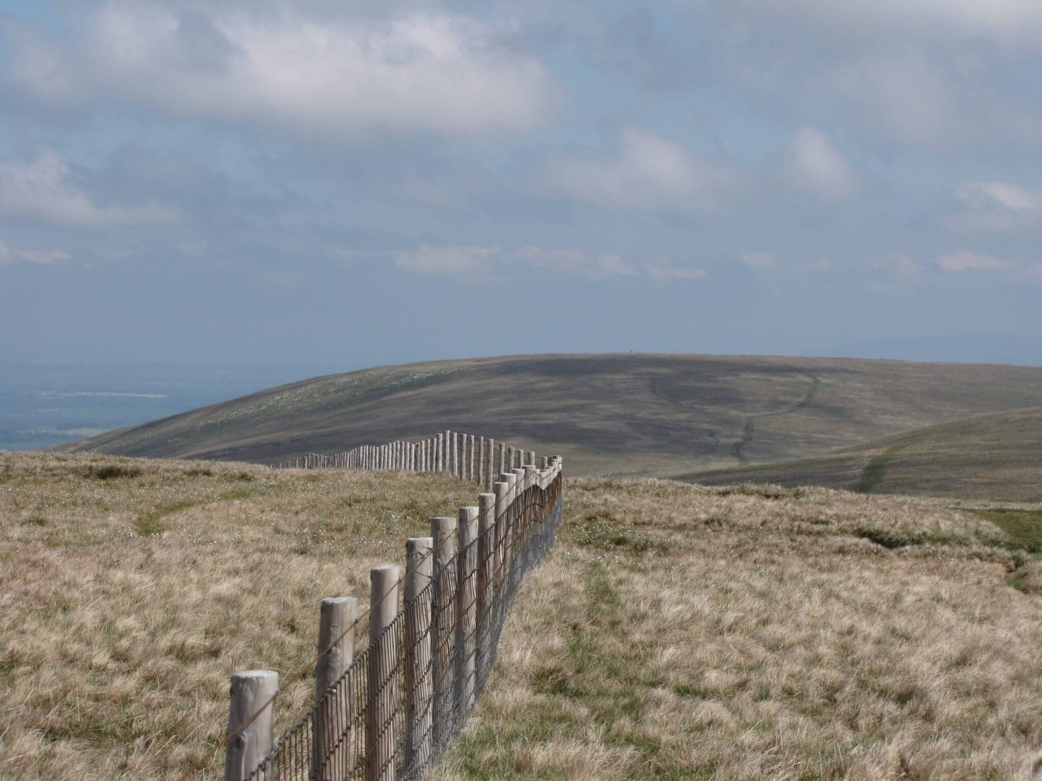
The rounded landscape offers fewer obvious landmarks than a sharp ridge. A path may look inviting without heading towards your intended descent, so a clear route plan is important even in apparently gentle terrain.
Choose a complete route for your starting point, including the descent. Use a current map and the full route description when planning your walk.
A published circuit from the Martindale side includes Steel Knotts, Loadpot Hill, Arthur’s Pike and Bonscale Pike. It combines steep lower climbing with broad grassy upland. Use the complete route to assess the total distance, ascent and return.
Routes from other starts around the eastern side of Ullswater can be considerably different in length. Check the exact starting point and the way onto the upland rather than assuming a direct walk from the nearest place name.
Expect grass, wet or mossy ground and stretches with several possible tracks. The summit area is broad and exposed to wind, with limited shelter. Mist makes navigation important; rounded slopes do not guarantee clear waymarking.
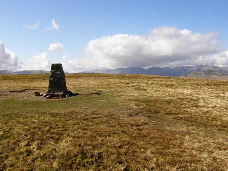
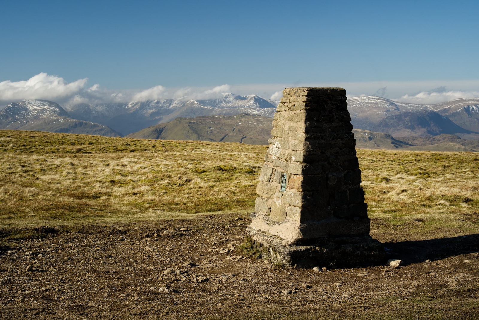
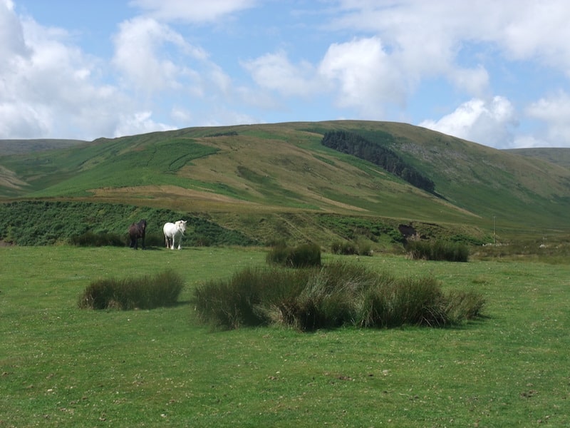
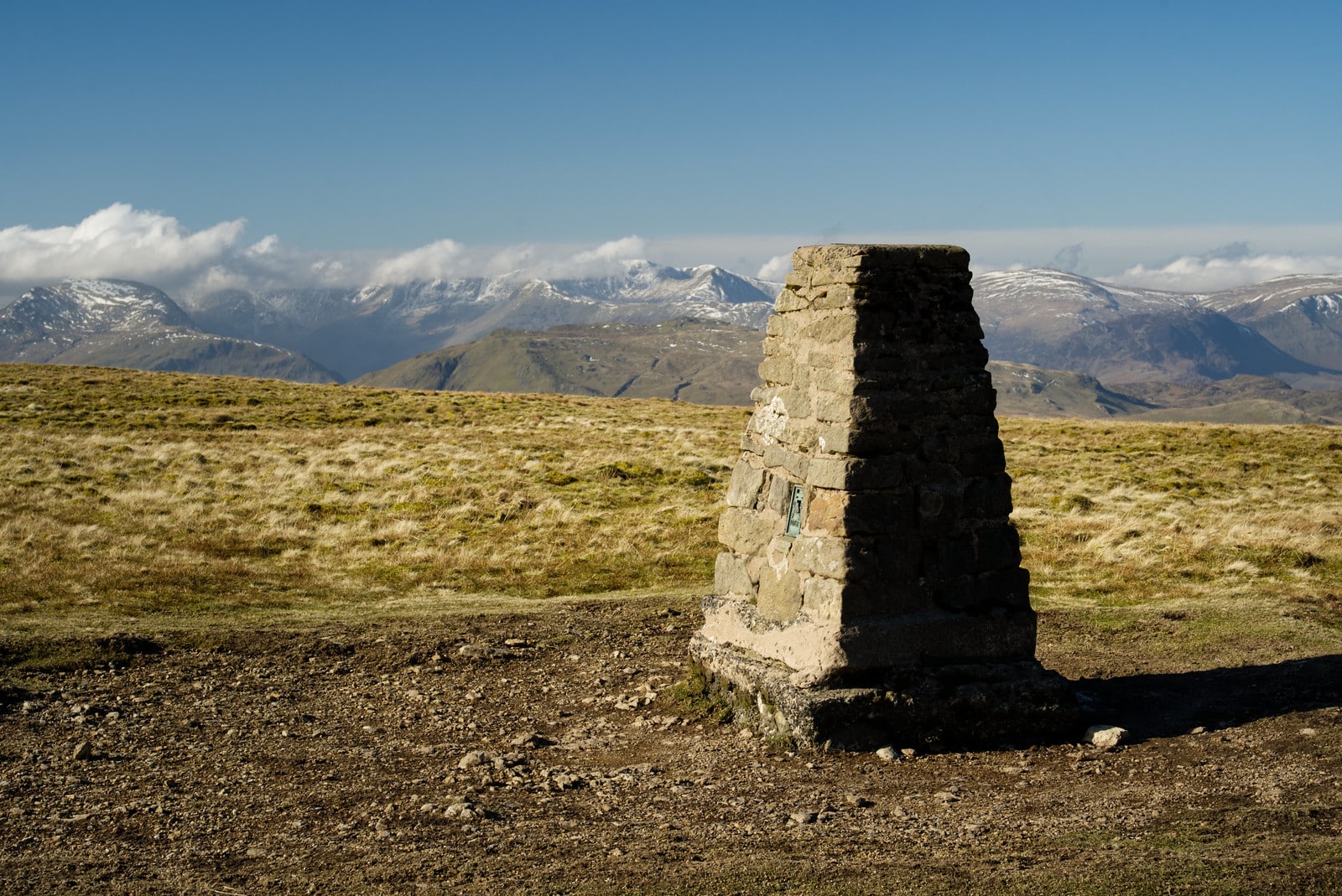
These photographs show the fell and its surroundings. Weather, visibility and ground conditions can be very different on the day of your walk.
Use the start specified by your route, such as the Martindale area for the Fusedale circuit. Parking is limited in narrow valleys. Check any boat or bus connection against the landing point, road walk and return time before relying on it.
Build your day around your party’s experience, the forecast and the daylight available. Carry suitable clothing and navigation equipment, know how to use them, and keep a shorter alternative in mind.
It is in the Far Eastern Fells, on the upland east of Ullswater.
Do not assume so. Multiple tracks and broad ground make map and compass skills useful, particularly in cloud.
The highest ground is close to, rather than exactly at, the trig point. Use a detailed map if locating the precise summit matters to you.
Choose a base for the valley where your walk starts. Open a property to compare its location, photos and facilities, then check availability for your dates.

Self-catering · Watermillock — Detached two-bedroom home with energy-efficient Passivhaus design in the Ullswater area.

Inn / pub with rooms · Pooley Bridge — Village setting, restaurant and garden near Ullswater.

Inn / pub with rooms · Pooley Bridge — Village rooms, pub dining and a beer garden near Ullswater.
Some property pages contain affiliate booking links. We may earn a commission from qualifying bookings at no extra cost to you.