Search

Peaks & fells / Loughrigg Fell

LAKE DISTRICT FELL GUIDE

Loughrigg Fell

Loughrigg Fell sits between Ambleside, Rydal and Grasmere, offering varied lake and valley views from a relatively low summit. Its network of paths makes a clear route plan useful even on a shorter day.

Last updated: 25 October 2026

Loughrigg Fell

Approx. height

About 335 m / 1,099 ft

Area

Central Fells · Ambleside & Rydal

Walking character

Lower fell with a maze of paths

Why visit Loughrigg Fell?

The fell reaches about 335 metres, but the amount of climbing depends on where you start and how much of the surrounding landscape you include. It can suit walkers seeking a lower summit without the commitment of a high mountain.

There is no single Loughrigg walk. Routes may include Loughrigg Terrace, woodland, lakeside paths and steeper summit steps. Distinguish a lower-level stroll from a route that actually climbs to the top.

Route choices

Choose a complete route for your starting point, including the descent. Use a current map and the full route description when planning your walk.

From Ambleside

An Ambleside start can make a varied circular walk across the fell and its surrounding paths. Our Loughrigg Fell circular walk from Ambleside provides a mapped route, distance and planning advice. The route can be longer than the modest summit height suggests. Use a complete description to choose the ascent, descent and return to town.

From the Rydal or Grasmere side

Paths from the northern side can combine the summit with Loughrigg Terrace and views over the lakes. Some routes climb steep stone steps. Plan the junctions carefully: following the terrace alone does not take you to the summit.

Terrain and exposure

Expect uneven paths, exposed rock, muddy patches and some steep steps. Numerous intersecting paths and low knolls can make navigation confusing in mist. Wet stone can be slippery, and lower height does not guarantee sheltered conditions.

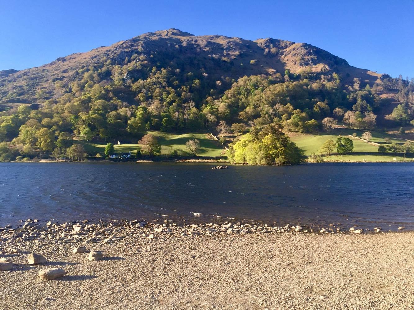
Loughrigg Fell in photos

These photographs show the fell and its surroundings. Weather, visibility and ground conditions can be very different on the day of your walk.

Getting there

Ambleside, Rydal and Grasmere offer different starting points and transport options. Match parking or a bus stop to your chosen circuit. If including the Rydal Cave area, remember that it is a former quarry and keep clear of unstable rock and hazardous edges.

Plan for the conditions

Build your day around your party’s experience, the forecast and the daylight available. Carry suitable clothing and navigation equipment, know how to use them, and keep a shorter alternative in mind.

Useful questions

Is Loughrigg Terrace the summit path?

The terrace crosses a lower part of the fell. A summit walk requires additional climbing and a planned connection.

Can this be a shorter fell day?

Yes, depending on the start and route. Compare the complete distance, ascent and terrain rather than relying on the summit’s height alone.

Is it straightforward in mist?

The many paths and similar-looking knolls can be confusing. Carry a map and know how to identify the route you intend to follow.

Places to stay for your walking break

Choose a base for the valley where your walk starts. Open a property to compare its location, photos and facilities, then check availability for your dates.

Some property pages contain affiliate booking links. We may earn a commission from qualifying bookings at no extra cost to you.