


Glenridding
Fairlight Guest House
Guest house · Glenridding — En-suite rooms, bed and breakfast, and views towards the fells.
Peaks & fells / Nethermost Pike
LAKE DISTRICT FELL GUIDE
Nethermost Pike lies just south of Helvellyn, with a broad upper fell above the crags of Grisedale. Its summit can be easy to pass by when following the main ridge path.
Last updated: 25 October 2026

Approx. height
About 891 m / 2,923 ft
Area
Eastern Fells · Helvellyn range
Walking character
High plateau walking beside steep crags
The fell reaches about 891 metres. The contrast between the broad western slopes and the steep eastern face is part of its character, especially when seen from Grisedale.
It is often included in a longer Helvellyn-range circuit. Reaching this quieter top still involves a substantial climb into high mountain terrain, and a broad summit does not make navigation unimportant.
Choose a complete route for your starting point, including the descent. Use a current map and the full route description when planning your walk.
Published western circuits can combine Nethermost Pike with Helvellyn and neighbouring tops. Check whether the route visits the actual summit rather than simply following the main ridge path nearby. Plan the return to the correct starting valley.
Adding Helvellyn or other tops extends the time on exposed high ground. Work out the distance, ascent and descent for the whole outing. Routes on the eastern face are different undertakings and should not be substituted for a normal walking approach.
The summit area is broad, with steep crags on the Grisedale side. Keep well clear of edges, especially in cloud, wind or snow. Expect rough paths, cold conditions and navigation decisions across an open plateau.
These photographs show the fell and its surroundings. Weather, visibility and ground conditions can be very different on the day of your walk.
Thirlmere and Glenridding or Patterdale are on different sides of the range. Match your directions and transport to the exact route you have chosen. Check legal parking and leave enough time for the full descent and return journey.
Build your day around your party’s experience, the forecast and the daylight available. Carry suitable clothing and navigation equipment, know how to use them, and keep a shorter alternative in mind.
The principal ridge path can pass close by without visiting the highest ground. Use a map if Nethermost Pike is a specific objective.
Do not assume so. It contains steep, craggy terrain; use a researched walking route with a clearly planned descent.
Yes, within a planned mountain circuit. The combination adds distance and time at height, so assess the complete outing and conditions.
Choose a base for the valley where your walk starts. Open a property to compare its location, photos and facilities, then check availability for your dates.
Guest house · Glenridding — En-suite rooms, bed and breakfast, and views towards the fells.

Hotel · Patterdale — Valley-view rooms, restaurant and bar near Ullswater.
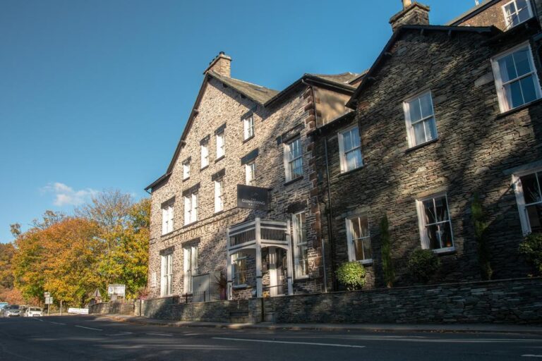
Inn / pub with rooms · Glenridding — En-suite rooms, pub dining and access to Ullswater walks.
Some property pages contain affiliate booking links. We may earn a commission from qualifying bookings at no extra cost to you.